Seattle to Glacier National Park: Distance, Route, and What to Know

This is a longer haul than a lot of people expect when they first look it up, but it’s also one of the more rewarding drives in the Pacific Northwest if you give it the time it deserves. The trip from Seattle to Glacier National Park crosses three states and two mountain ranges, so it’s worth understanding the route and realistic timing before you commit to doing it in a single push.
Most sources land in a fairly consistent range once you account for slightly different routing.
| Metric | Value |
|---|---|
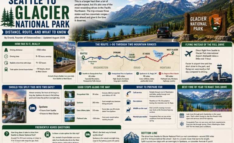
| Driving distance | ~550 miles |
| Driving time | 9–10 hours, nonstop |
| Realistic drive time with stops | 11–12 hours |
| Train option (Amtrak Empire Builder) | ~14 hours, direct to West Glacier |
That train option is worth knowing about even if you end up driving, since Amtrak’s Empire Builder runs once daily from Seattle straight to West Glacier’s own station, which is a genuinely convenient option if you’d rather not deal with a car for the whole trip.
The Route: I-90 Through Two Mountain Ranges
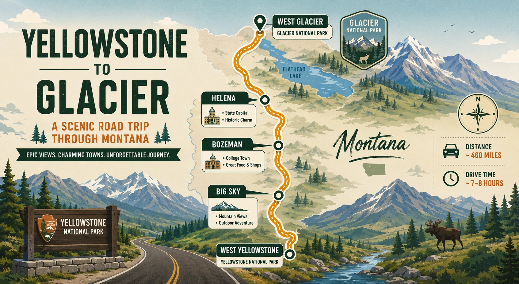
The standard drive from Seattle to Glacier National Park follows I-90 East out of Seattle, climbing through Snoqualmie Pass in the Cascades before dropping into the high desert of eastern Washington. From there, the road continues through Spokane and across the Idaho panhandle near Coeur d’Alene, crossing into Montana around St. Regis. The final stretch leaves the interstate, following a combination of Montana highways north through Flathead Lake country before reaching West Glacier via US-2.
| Leg | Approximate Distance | Highlights |
|---|---|---|
| Seattle to Snoqualmie Pass | 45 miles | Cascade Mountains, Snoqualmie Falls detour |
| Snoqualmie Pass to Spokane | 245 miles | High desert, farmland, long open stretches |
| Spokane to St. Regis, MT | 95 miles | Coeur d’Alene, Idaho panhandle forest |
| St. Regis to West Glacier | 165 miles | Flathead Lake, Montana highway country |
Once you leave the interstate near St. Regis, the pace of the drive changes noticeably. The roads narrow, small towns appear more frequently, and Flathead Lake, the largest natural freshwater lake in the western United States, runs alongside the highway for a solid stretch before you reach the park.
Flying Instead of the Full Drive
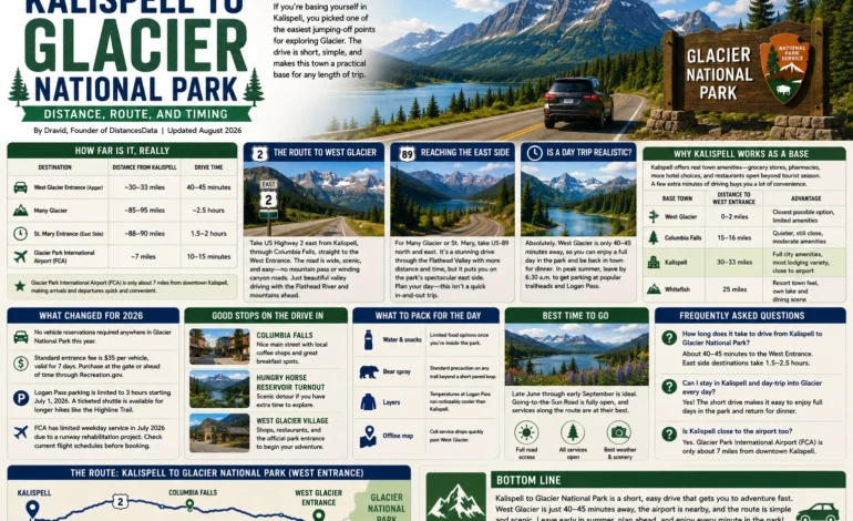
If ten hours behind the wheel doesn’t appeal to you, flying is a legitimate alternative worth weighing. A direct flight from Seattle to Glacier Park International Airport in Kalispell runs a little over an hour in the air, compared to the full day the drive requires. Factor in airport time on both ends and the short drive from Kalispell into the park, and flying can save the better part of a full day, though it does mean giving up the scenic stretch through Idaho and the Flathead Lake shoreline that makes the drive worthwhile for a lot of travelers. If your schedule is tight, flying makes sense; if the journey itself is part of the appeal, driving remains the better choice.
Should You Split This Into Two Days
Almost certainly, yes. Ten hours of driving is a long day under any circumstances, and doing it in one push after already dealing with a flight or a full day in Seattle tends to leave people exhausted right when they arrive somewhere they should be excited about. Spokane sits close to the halfway point and makes a sensible overnight stop, breaking the drive into two legs of roughly five hours each.
Good Stops Along the Way
A few spots are worth more than a quick gas station break if you have any flexibility in your schedule.
| Stop | Distance from Seattle | Why It’s Worth a Stop |
|---|---|---|
| Snoqualmie Falls | 30 miles | Dramatic 268-foot waterfall, quick detour off I-90 |
| Spokane | 280 miles | Good overnight stop, downtown dining and parks |
| Coeur d’Alene, Idaho | 310 miles | Scenic lake, easy 30-minute detour from Spokane |
| Flathead Lake | ~500 miles | Final scenic stretch before reaching the park |
What to Prepare For
A drive this long across three states benefits from a bit of planning beyond just picking a route. Fuel prices and station availability shift noticeably once you leave the interstate corridor, and having a rough plan for where you’ll fill up keeps the last stretch through rural Montana from becoming a source of stress.
| Consideration | What to Know |
|---|---|
| Cell service | Reliable through most of Washington and Idaho, spotty through rural Montana stretches |
| Gas stations | Plentiful on I-90; fill up before leaving the interstate near St. Regis |
| Wildlife on the road | Deer and elk crossings increase near dusk on the Montana highway sections |
| Mountain pass weather | Snoqualmie Pass can see winter conditions from late fall through spring |
Best Time of Year to Make This Drive
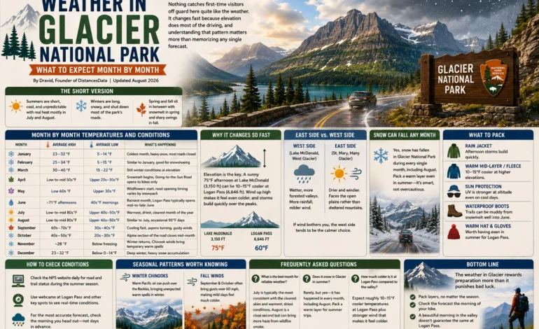
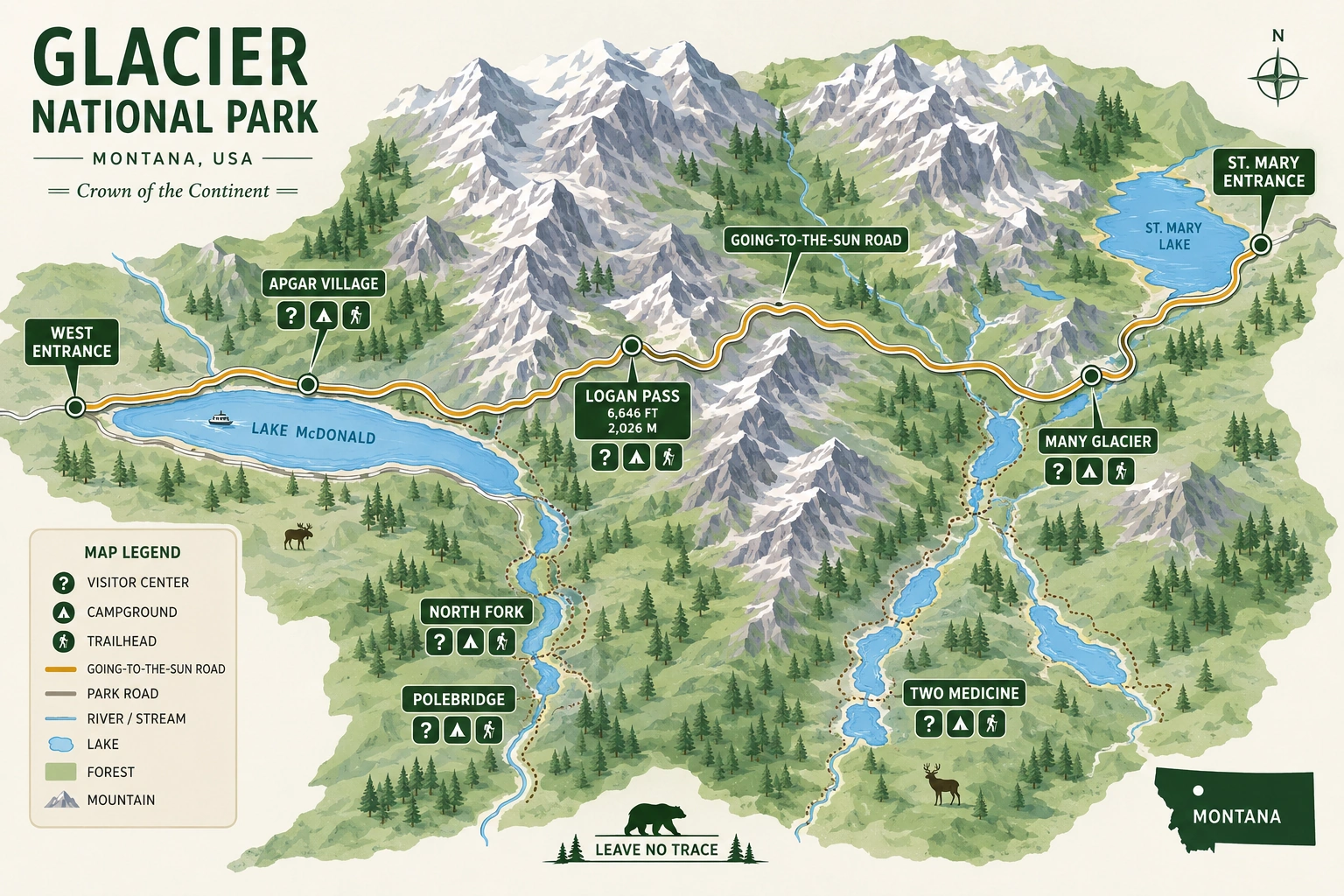
Late June through early September is the sweet spot for this trip, mainly because that’s the window when Going-to-the-Sun Road inside the park is fully open and every service along the route, from small-town diners to lakeside campgrounds, is running at full capacity. Snoqualmie Pass can see snow and occasional chain requirements from late fall through spring, so if you’re attempting this drive outside the summer window, check Washington State DOT’s pass conditions before you leave, since a closure there would force a lengthy detour.
Frequently Asked Questions
Around 9 to 10 hours of nonstop driving, or closer to 11 to 12 hours once you factor in a couple of stops for gas, food, and stretching your legs.
Yes. Amtrak’s Empire Builder runs once daily from Seattle directly to the West Glacier station, taking about 14 hours and offering a genuine alternative if you’d rather not drive the whole way.
Spokane is the natural overnight stop, sitting close to the halfway point and offering plenty of hotels and restaurants before you tackle the second half of the trip the next day.