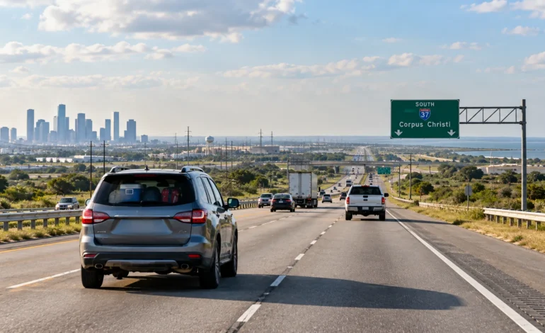
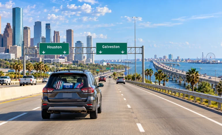

Short drive, big payoff. The Houston to Galveston distance is only about 50 to 55 miles, and most people make it in 45 minutes to an hour outside of rush hour. Close enough for a spontaneous beach day, far enough that a little planning still helps — especially since this route gets busy fast on weekends.
Quick Facts
| Detail | Information |
| Road Distance | 50–55 miles |
| Straight-Line Distance | 50 miles (80 km) |
| Driving Time | 45 min to 1 hr (up to 90 min in rush hour) |
| Bus Time | 1 to 2 hours |
| Rideshare Cost | $50–$70 |
| Main Route | I-45 South |
The Drive: I-45 South, No Detours Needed
I-45 South is the only route that makes sense for most people, running straight down from Houston to the Galveston Causeway, which carries you onto the island itself. It’s about as simple as Texas drives get — merge on, head south, and you’re there in under an hour on a good day.
The Houston to Galveston distance feels shorter than it is just because the route is so direct. No highway changes, no confusing exits, just a clean shot south until you’re looking at open water.
Traffic near Houston’s outer loop can add a few minutes getting onto I-45 South, especially during weekday commuter hours, but once you’re clear of the city, the rest of the Houston to Galveston distance moves quickly.
When to Leave to Beat the Traffic
| Time / Day | Traffic Level | Notes |
| Weekday, 7–9 AM | Heavy southbound near Houston commuter areas | Add 20–30 minutes |
| Weekday, 10 AM–3 PM | Light | Best window for a quick trip down |
| Weekend mornings | Moderate to heavy | Beachgoers head down early |
| Weekend, 3–7 PM | Heavy | Everyone leaving the island at once |
| Summer weekends | Heaviest | Book parking or arrive early |
If you’re planning a beach day, leaving Houston before 9 AM on a weekend beats the crowd both ways — down before traffic builds, and home before the afternoon exodus off the island.
Getting Onto the Island
The Galveston Causeway is the one real chokepoint on this trip. It’s a two-lane bridge in each direction, and on busy summer weekends, it can back up significantly on both the way in and the way out. There’s no way around it if you’re driving, so building in extra time on peak days is worth it.
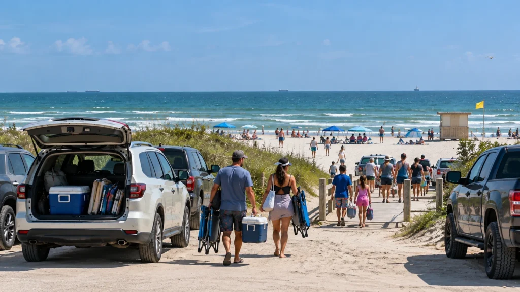
Once you’re across, Seawall Boulevard runs along most of the beach areas and is the main road most visitors use to get around the island.
If you’ve got extra time, the free Galveston-Bolivar Ferry is worth the detour even if you’re not continuing on to Bolivar Peninsula. It’s a short ride, dolphins show up fairly often, and it’s one of the easiest free activities on the whole trip. Just know that lines can get long on summer weekends, so it’s more of a “if you have time” stop than a guaranteed quick detour.
Beach Parking and Access
| Beach Area | Parking Type | Notes |
| Stewart Beach | Paid lot | Family-friendly, amenities on site |
| East Beach | Paid lot | Popular with younger crowds, events |
| Seawall public beaches | Metered street parking | Free public beach access |
| Galveston Island State Park | Paid entry | Quieter, less crowded |
Most of Galveston’s beaches are free to access, but parking at the more popular spots usually costs a small daily fee, especially during peak season. Showing up early gets you better parking options along the Seawall.
Things to Do Beyond the Beach
| Attraction | Type | Good For |
| The Strand Historic District | Shopping, dining | Rainy days, evening walks |
| Moody Gardens | Pyramids, aquarium | Families with kids |
| Pleasure Pier | Amusement park | Kids, evening visits |
| Galveston Railroad Museum | Museum | History buffs |
Galveston isn’t just a beach — it’s also a working cruise port and a genuinely historic town, so there’s plenty to do even if the weather doesn’t cooperate.
Cost Comparison
| Option | Typical Cost (one way) | Time | Best For |
| Driving | Gas, roughly $8–$12 | 45 min–1 hr | Flexibility, beach gear |
| Bus | $10–$20 | 1–2 hours | No car needed |
| Rideshare | $50–$70 | 45 min–1 hr | Groups splitting cost |
Driving is by far the cheapest option for covering the Houston to Galveston distance, especially if you’re bringing beach chairs, coolers, or a group of people.
Why People Make This Trip So Often
It’s mostly the beach, honestly. Galveston is Houston’s closest coastal escape, and the short Houston to Galveston distance makes it an easy day trip rather than a full vacation commitment. Families head down for weekend beach days, cruise passengers use it as their departure point since Galveston is a major cruise terminal, and plenty of Houston residents treat it as a regular weekend habit during summer.
Knowing the real Houston to Galveston distance and traffic patterns ahead of time helps avoid the worst of the causeway backups, which is really the only part of this trip that requires much planning at all.
Quick Answers
How far is Houston from Galveston? About 50 to 55 miles by road.
How long does the drive take? Usually 45 minutes to an hour, up to 90 minutes during weekend rush periods.
What’s the best route? I-45 South, straight down to the Galveston Causeway.
Is parking free at the beach? Beach access is generally free, but parking at popular spots like Stewart Beach usually has a small fee.
When should I leave to avoid traffic? Before 9 AM on weekends, especially in summer, to beat both the causeway backup and the crowds.
Before You Head Out
Check the weather and surf conditions before leaving, since Gulf weather can shift quickly. Pack sunscreen and water, since Texas coastal heat is no joke in summer. And if you’re heading down on a weekend, consider leaving early and coming back before the late-afternoon rush off the island — the causeway gets crowded fast once everyone decides to head home at once.
A cooler with drinks and snacks is worth packing too, since prices right along the Seawall tend to run higher than what you’d pay back in Houston. If you’re bringing kids, Stewart Beach tends to be the easiest option since it has restrooms, showers, and a more contained layout than some of the open beach stretches further down the island.
For live traffic conditions and current route details, it’s worth checking the official website before you leave.