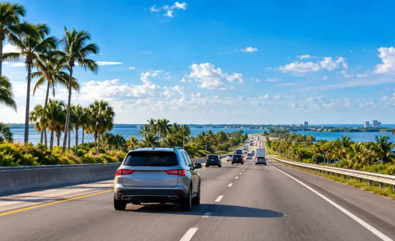


Whether you’re checking the Orlando to Jacksonville distance or the Jacksonville to Orlando distance, it’s the same trip either way — about 140 miles, with a drive time of roughly 2 to 2.5 hours. This route connects Central Florida to the state’s largest city by area, and it’s a common one for both business and beach-bound travelers. Here’s the full breakdown.
| Detail | Information |
| Road Distance | 140 miles |
| Straight-Line Distance | 128 miles (206 km) |
| Driving Time | 2 hr to 2 hr 30 min |
| Flight Time | About 1 hour |
| Main Route | I-4 East to I-95 North |
| Alternative Route | US-17, more scenic, adds 10–20 miles |
The Drive: I-4 to I-95, A Straightforward Combo
Most drivers cover the Orlando to Jacksonville distance by taking I-4 East out of Orlando before merging onto I-95 North for the remainder of the trip up the coast. It’s a simple, well-signed route with no confusing turns, and under normal traffic, it takes about 2 to 2.5 hours. US-17 offers a more scenic alternative running through smaller towns, though it adds real time and isn’t the practical choice for most trips.

Traffic and Timing
I-4 near Orlando can slow things down during rush hour and around theme park traffic peaks, so leaving mid-morning or early afternoon on weekdays tends to give the smoothest start. Once you’re on I-95 North, the drive opens up considerably, running through less congested stretches of coastal Florida before reaching Jacksonville’s outer areas, where city traffic picks up again near the end.
Flying: Rarely Necessary for This Distance
A direct flight between Orlando International (MCO) and Jacksonville International (JAX) takes about an hour in the air, but for a 140-mile trip, driving is almost always the more practical choice once airport time is factored in. This route sees more flight traffic from travelers connecting through one city than from people making the direct Orlando-Jacksonville trip by air.
Cost Comparison
| Option | Typical Cost (one way) | Time | Best For |
| Driving | Gas, roughly $18–$28 | 2–2.5 hours | Nearly everyone |
| Flying | $70–$200+ | ~1 hr in air | Only if connecting elsewhere |
| Bus | $20–$40 | 3–3.5 hours | Budget travel without a car |
Best Time to Travel
| Season | Traffic Level | Notes |
| Winter (Dec–Feb) | Moderate | Holiday travel bumps near both cities |
| Spring (Mar–Apr) | Heavy | Spring break traffic on I-4 |
| Summer (Jun–Aug) | Moderate | Afternoon storms common statewide |
| Fall (Sep–Nov) | Lighter | Generally the smoothest driving season |
Why This Route Gets Traveled So Often
Business ties between Central Florida and Northeast Florida keep steady traffic flowing, with both cities serving as regional economic hubs. College students, particularly those attending University of North Florida or University of Central Florida, make this trip regularly during breaks. Beachgoers heading to Jacksonville’s coastline from inland Orlando add another steady stream, especially during summer weekends. Snowbirds and seasonal residents shifting between the two regions add further traffic in the fall and spring shoulder months.
Stops Along the Way
| Town | Distance from Orlando | What’s There |
| Sanford | ~25 miles | Gas, food, historic downtown |
| Daytona Beach | ~90 miles | Beach access, Daytona International Speedway |
| St. Augustine | ~110 miles | Historic district, gas and food |
Daytona Beach makes a natural stop if you want to break up the drive with a beach detour, sitting roughly two-thirds of the way to Jacksonville along the I-95 portion of the route.
Where to Stay at Each End
| City | Area | What’s There |
| Orlando | International Drive | Theme park proximity |
| Orlando | Downtown | Business travel |
| Jacksonville | Downtown | Riverfront hotels, dining |
| Jacksonville | Jacksonville Beach | Beach access, resort options |
What to Pack for the Drive
Sun protection and water are worth having regardless of season, given Florida’s heat for much of the year. If traveling in summer, expect afternoon thunderstorms that can briefly reduce visibility on I-4 near Orlando. Cell coverage stays reliable the entire route, so navigation apps work without interruption for the full trip.
FAQ
About 140 miles by road, the same whether traveling from Orlando or Jacksonville.
Roughly 2 to 2.5 hours under normal traffic.
I-4 East to I-95 North is the most direct and commonly used route.
US-17 offers a more scenic, small-town route but adds real time to the trip.
Rarely — driving is generally faster once airport time is factored in for a distance this short.
Before You Go
Check I-4 traffic conditions before leaving Orlando, since this stretch sees frequent congestion regardless of time of day. Fill up before hitting the more rural sections of I-95, where services thin out somewhat. And whichever direction you’re covering the Orlando to Jacksonville distance, a mid-morning weekday departure typically gives you the smoothest trip.
Renting a car at either airport is straightforward, with both MCO and JAX offering standard counters from major rental companies. If you’re planning to detour into St. Augustine or Daytona Beach along the way, building extra time into your schedule for the Orlando to Jacksonville distance keeps the trip relaxed rather than rushed, especially since both towns are worth more than a quick drive-through. Weekday travel also tends to offer better rental car rates than weekends, when both cities see higher tourist demand.