

The Tampa to Fort Myers distance runs about 130 to 145 miles down Florida’s Gulf Coast, with a drive time of roughly 2 to 2.5 hours under normal traffic. This is a popular route for both Gulf Coast beach hopping and seasonal snowbird travel. Here’s what to know before you go.
| Detail | Information |
| Road Distance | 130–145 miles |
| Straight-Line Distance | 115 miles (185 km) |
| Driving Time | 2 hr to 2 hr 30 min |
| Flight Time | About 45 minutes |
| Main Route | I-75 South |
| Alternative Route | US-41 (Tamiami Trail), adds 20–50 miles |
The Drive: I-75, The Direct Path South
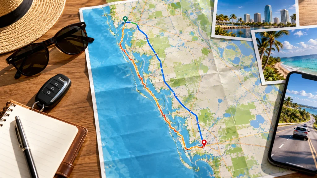
I-75 South is the standard route covering the Tampa to Fort Myers distance, running fairly straight down the Gulf Coast side of the state. It’s a well-maintained interstate, and under normal conditions, the trip takes about 2 to 2.5 hours. US-41, the Tamiami Trail, offers a slower, more scenic alternative that runs through smaller coastal towns, though it adds meaningful mileage and isn’t the practical choice if time matters.
Traffic and Timing
I-75 through this stretch sees heavy seasonal traffic, particularly in winter when snowbirds flood south Florida-bound highways. A drive that normally takes 2 hours can stretch to 3 or more during peak season or after an accident, since alternate routes are limited. Weekday mid-mornings tend to offer the smoothest conditions, avoiding both commuter traffic near Tampa and the heavier snowbird flow further south.
Best Time to Travel by Month
| Month Range | Traffic Level | Notes |
| Nov–Mar | Heaviest | Peak snowbird migration |
| Apr–May | Moderate | Traffic easing off |
| Jun–Aug | Lighter | Hurricane season begins, watch forecasts |
| Sep–Oct | Lightest | Best overall conditions |
Flying: An Option, Rarely Necessary
A direct flight between Tampa International (TPA) and Southwest Florida International (RSW) in Fort Myers takes about 45 minutes in the air. For most travelers, though, driving remains faster door-to-door once you factor in getting to the airport and through security, especially since RSW serves direct flights from over 50 U.S. cities, meaning most Tampa-area travelers headed to Fort Myers just drive.
Cost Comparison
| Option | Typical Cost (one way) | Time | Best For |
| Driving | Gas, roughly $18–$28 | 2–2.5 hours | Nearly everyone |
| Flying | $70–$200+ | ~45 min in air | Only if connecting elsewhere |
| Bus | $20–$40 | 3–4 hours | Budget travel without a car |
Best Time to Travel
| Season | Traffic Level | Notes |
| Winter (Dec–Mar) | Heaviest | Peak snowbird season |
| Spring (Apr–May) | Moderate | Traffic easing off |
| Summer (Jun–Aug) | Lighter | Hot, afternoon storms common |
| Fall (Sep–Nov) | Lightest | Best overall driving conditions |
Winter is genuinely the toughest season for this drive, since Fort Myers and the surrounding Gulf Coast see a major seasonal population increase from November through April.
Why This Route Gets Traveled So Often
Both cities are popular Gulf Coast destinations, and travelers frequently combine a Tampa visit with time in Fort Myers or nearby Sanibel and Captiva Islands. Seasonal residents relocating between northern states and Southwest Florida add heavy traffic in fall and spring. Business travel between the two metro areas, along with day-trippers exploring the broader Gulf Coast, keeps this corridor steadily busy year-round.
Stops Along the Way
| Town | Distance from Tampa | What’s There |
| Sarasota | ~55 miles | Beaches, gas, dining |
| Venice | ~75 miles | Beach town, shark tooth hunting |
| Punta Gorda | ~105 miles | Waterfront, gas and food |
Sarasota makes a popular stop if you want to add a beach detour to the Tampa to Fort Myers distance, given its reputation as one of the Gulf Coast’s top beach towns.
Where to Stay at Each End
| City | Area | What’s There |
| Tampa | Downtown | Business hotels, riverfront |
| Tampa | Westshore | Airport proximity |
| Fort Myers | Downtown River District | Walkable, historic |
| Fort Myers | Fort Myers Beach | Beach access, resorts |
What to Pack for the Drive
Sun protection and water matter year-round on this route given Florida’s climate. If traveling during hurricane season, June through November, check weather forecasts before heading out, since both cities sit along vulnerable coastal stretches. Cell coverage remains reliable along I-75 for the entire drive.

Quick Answers
About 130 to 145 miles by road via I-75.
Roughly 2 to 2.5 hours under normal traffic, longer during peak snowbird season.
I-75 South is the most direct; US-41 offers a scenic alternative that adds real distance.
Rarely — driving is typically just as fast once airport time is included for this distance.
Winter months, from December through March, see the heaviest congestion on I-75.
Before You Go
Check traffic conditions before leaving, especially during winter months when I-75 sees its heaviest volume. Fill up in Tampa or along the way, since services remain reasonably frequent on this route. And if you’re combining this trip with a visit to Sanibel or Captiva, factor in extra time beyond just the Tampa to Fort Myers distance itself, since those islands require an additional causeway drive from Fort Myers.
Renting a car at Tampa International is straightforward, and booking ahead during winter snowbird season helps lock in better rates before demand pushes prices up. Travelers covering the Tampa to Fort Myers distance for a beach vacation should also check island-specific parking and access rules ahead of time, since Sanibel and Captiva both have their own separate causeway tolls.